A hiking holiday from Vélez de Benaudalla
Three sample plans that mix the coast, the Alpujarra and the high Sierra from one base: built only from routes with published data.
✓ Facts checked on 8 November 2026

Why a base in the Guadalfeo valley
Coast and mountains
Motril’s and Salobreña’s routes on one side, the Alpujarra and Sierra Nevada on the other.
Walk from the door
The town hall’s village routes start from the main square: descriptions only, with no published distance.
Recovery days
Beaches, the Jardín Nazarí and the castle in the village for rest days.
3 days: a taste of everything
| Day | Plan | Level (official) |
|---|---|---|
| 1 | Azud de los Vados (Motril): 4.8 km to a viewpoint over the Tajo de los Vados | Low |
| 2 | Sendero Pueblos del Poqueira: 9.4 km loop, 3 h 30 min, Pampaneira–Bubión–Capileira | Medium |
| 3 | Village walk: Ruta del Nacimiento from the main square (description only) + Jardín Nazarí | Not graded |
5 days: coast, Alpujarra and hills
| Day | Plan | Level (official) |
|---|---|---|
| 1 | Acantilados de Sacratif: 2.4 km along the cliffs east of Motril | Medium-low |
| 2 | Sendero Pueblos del Poqueira: 9.4 km loop, 3 h 30 min | Medium |
| 3 | Rest day: beach or the Jardín Nazarí | – |
| 4 | Garnatilla–Alcántara: 10.4 km, 2 h 46 min, 289–722 m | Medium |
| 5 | Sendero La Cebadilla (Capileira): 7.5 km loop, 4 h | Medium |

7 days: up to the high Sierra (in season)
| Day | Plan | Level (official) |
|---|---|---|
| 1 | Las Lagunas (Motril): 2 km flat loop to warm up | Low |
| 2 | Sendero Pueblos del Poqueira: 9.4 km loop | Medium |
| 3 | Sierra del Chaparral (Molvízar): 7.9 km, 2 h 40 min | Medium |
| 4 | Rest day | – |
| 5 | Lanjarón–Tello: 5.6 km one way, about 4 h, 654–1,546 m | High |
| 6 | Salobreña–Almuñécar coastal path: 14.54 km one way, bus back | Low |
| 7 | Hoya del Portillo–Refugio del Poqueira: 8.3 km one way, 2,150–2,600 m: only with mountain equipment, outside snow conditions | Medium (high mountain) |

Build your own plan
- Hiking planner: filter official trails by effort, time, season and group, then build your days
What to bring
Every day
Water (fountains are not guaranteed drinkable), sun protection, walking shoes.
Mountain days
Mountain boots, warm layers, rain jacket, map or GPS.
Car
Trailheads outside the village are reached by car; plan parking with each source’s start description.
Where to stay for your hiking holiday
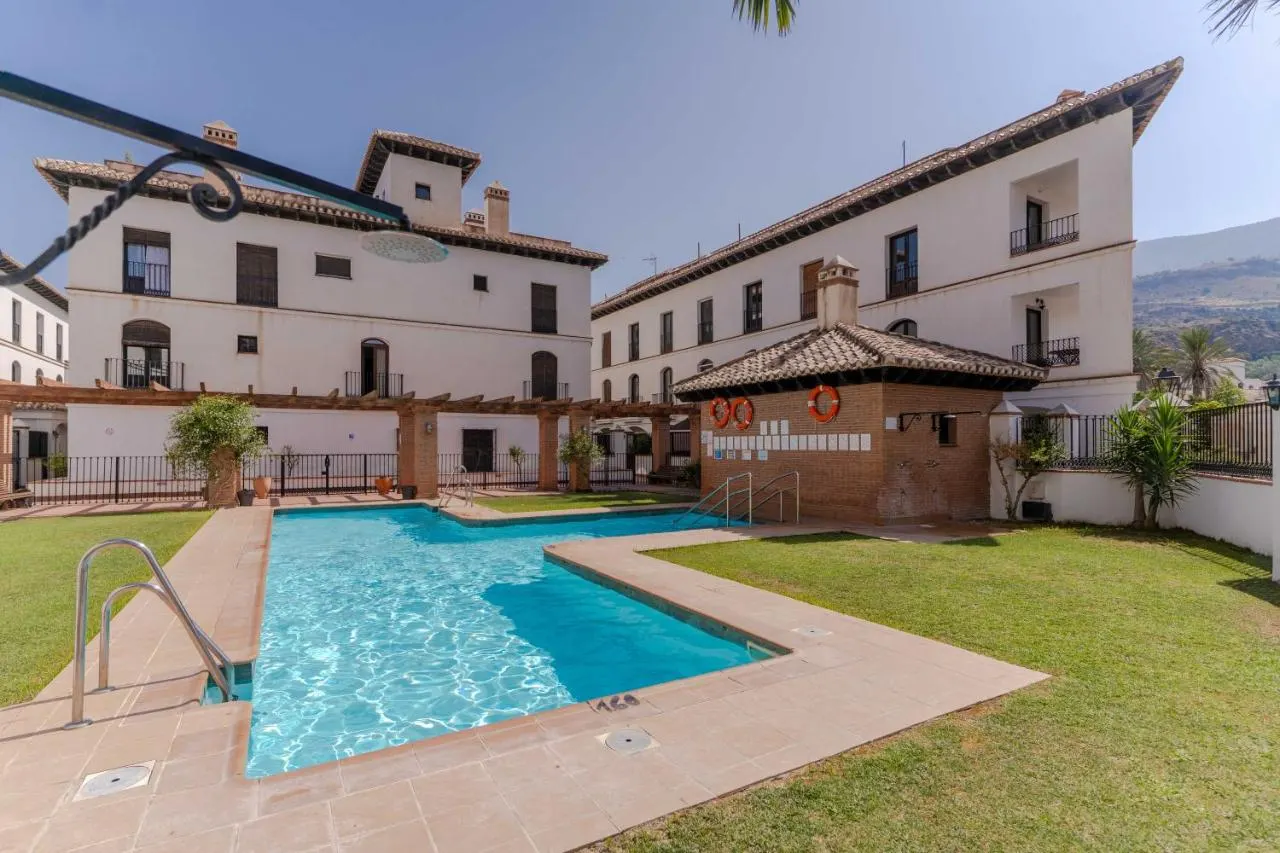
Rincón Salvaje is a two-bedroom holiday duplex for up to 4 guests in Vélez de Benaudalla, bookable on Airbnb and Booking.com. The village routes start on foot; the coast and the Alpujarra are reached by car.
- Remote work in Andalusia: city, coast or village for a stay of several weeks
- Winter in southern Spain: official winter averages for the coast, Málaga and Granada
Frequently asked questions
Is Vélez de Benaudalla a good base for hiking?
It lies in the Guadalfeo valley between the Costa Tropical and the Alpujarra, with village routes starting on foot and official trails on the coast and in the mountains reachable by car.
Where should I stay for hiking in southern Granada?
Somewhere between the coast and the mountains, so you can follow the season and the weather without moving. Vélez de Benaudalla, in the Guadalfeo valley at the end of the A-44, is such a base: Rincón Salvaje, a two-bedroom duplex for up to 4 guests, is bookable on Airbnb and Booking.com.
How many days do I need?
Three days give a taste of the coast, the Alpujarra and the village; a week allows a high-mountain day in season with rest days in between.
Do I need a car?
For trailheads outside the village, yes in practice.
Can I do the high Sierra in winter?
Above 2,000 m, snow and ice are possible in winter; only with winter equipment and experience.
Sources · Facts checked on 8 November 2026
- Motril Turismo · Senderismo
- Turismo de Salobreña · Walking trails
- MITECO · Sierra Nevada National Park, Sendero Pueblos del Poqueira (PDF)
- Junta de Andalucía · Sendero Lanjarón-Tello
- Junta de Andalucía · GR-240 Sulayr guide
- Junta de Andalucía · Sendero Hoya del Portillo-Refugio del Poqueira
- Junta de Andalucía · Sendero Sierra del Chaparral
- Ayuntamiento de Vélez de Benaudalla · Ruta del Nacimiento